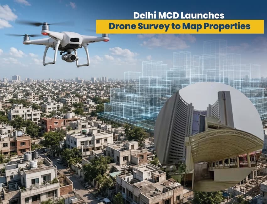
The Municipal Corporation of Delhi (MCD) has initiated a drone survey of properties as part of its project to computerize and modernize its property tax procedure and improve the accuracy and integrity of its property records. Currently, property assessment is done through field verification by revenue department officials; incomplete and outdated records often lead to incorrect assessment.
The MCD will use a combination of advanced aerial photography and digital maps to locate property records that are either missing, inadequate, or incorrectly assessed.
Drone surveys of Rohini F Ward in the Rohini Zone and Gharoli Ward in the Shahdara South Zone have already been conducted. The MCD is also going to integrate drone surveys with other advanced technologies like Geo-tagging, Artificial Intelligence, and 3D digital reconstruction of the environment.
Officially, the target of drone surveys is to create an exhaustive digital inventory of all the properties in Delhi. Traditionally, records of properties are maintained by municipal corporations. Mapping of properties through aerial surveys is a technique used by municipal corporations to update and validate their records.
It has been reported that the technology used can assist in locating discrepancies and deficiencies in municipal records. In addition to record omissions, the technology can also assist in locating records of illegally built and unauthorized structures.
Surveys to Pinpoint Built-Up Areas
Comparing actual built-up areas of properties to built-up areas shown on digital maps is another aspect of the MCD drone survey.
The number of storeys of a built-up area of a property and the extent of built-up areas of a property, in combination with the nature and purpose of the use of a property, are relevant considerations for fixing the value of a property for levy of property tax.
Moreover, digital records could assist the MCD in identifying potential anomalies in the assessment of properties compared with their mapped records of such properties.
Not all differences detected by the digital records and mapped information would increase the value of a property and the tax thereon. Other provisions of the law will apply to such assessment and adjustment of value of property.
This digital evaluation system primarily benefits the MCD in assessing and revaluing the properties under its jurisdiction and management of property records.
Use of Advanced Digital Technologies by MCD
Beyond the use of drones, the MCD's action plan incorporates other digitized techniques such as Geographic Information Systems (GIS) and 3D modeling. The MCD also proposes the integration of Artificial Intelligence and Laser-based (LiDAR) remote sensing.
From a municipal administration perspective, integration of these technologies could serve a variety of functions, including identification of buildings and land use.
Reduced Need for Manual Property Inspections
The MCD expects the new system to lessen the need for manual property inspections. With this system, officers will review satellite/aerial images and digital maps to locate properties deserving further attention.
The system will also permit officers to review discrepancies at the ward/zone level and identify properties in need of correction.
Case management and the review or update of notices, as well as the review or collection of property taxes, may benefit from the use of digital systems.
Potential Effect on Delhi Property Tax
Drone technology may change how the Municipal Corporation of Delhi (MCD) assesses property taxes. Drone-based mapping may capture the physical features of properties and, combined with other satellite- and aerial-based maps, determine if a property is over/under assessed. With continual updates by the MCD to capture changes in the built environment, assessment-related work may be eased.
Like other municipal systems, the technology may help pinpoint gaps or update records that are out of date. It may help the MCD track properties that are not part of the municipal record.
The technology may also help the MCD track and update records related to municipal taxes or fees, and other revenue-related casework.
What the Innovation Means for Property Owners
Property owners and the general public may also benefit from improved and digitized property records, and reduced need for in-person meetings with municipal personnel. The MCD expects the new system will reduce the need for members of the public to visit offices to conduct various property-related activities.
Digital access to property information would also help resolve property-related complaints. In combination with a GIS system, officials can better identify and review the records of concerned residents.
Owners must understand that the mapping exercise and assessment process are distinct and separate from each other. A drone survey is exclusively a data collection and validation exercise. Owners must abide by the applicable rules and procedures of the municipality before taking any decision on property assessment and valuation.
Digital records are expected to improve the process of resolving property-related complaints and grievances. Integration of assessment, property, and geographic records helps officials access information needed for property assessment and valuation. This improves transparency and accountability in the assessment process.
Inconsistencies and deficiencies in records are also tracked and reported. This approach is limited by the quality and accuracy of the data collected and the degree of integration with the existing Information Technology Systems of the Municipal Corporation of Delhi.
The initial phase of the project is limited to two wards. Rohini F and Gharoli wards are the first to be covered by the project. The objective of the project is to assist the Municipal Corporation of Delhi (MCD) in evaluating the potential of integrating drone surveys, GIS, and other related digital technologies in improving property assessment and record management systems.
Based on the potential impact of the pilot, the technology-based approach may be applicable to other locations in Delhi.
MCD Embraces Technology in Property Management
Using drones to capture images of buildings is one example of using technology in property assessment. The MCD is using a combination of technology tools to create a database of buildings in the city. These tools include aerial survey and mapping, Geographic Information Systems (GIS), artificial intelligence, geo-tagging, and 3D modeling.
The tools may assist the MCD in locating and correcting discrepancies in the property records, thus improving the integrity of the records, and help monitor and locate omissions in property records. In addition, the tools may assist the public to identify omissions, record discrepancies, and help locate property records without the need to personally visit the MCD offices.
Until further notice, the existing rules will continue to apply, and the rules will govern the verification and changes to the property valuation and tax.
Read More: Tata Electronics Plans 363-Acre Vendor Park for 450 Suppliers Near Dholera Chip Plant
Source: https://www.livemint.com/